
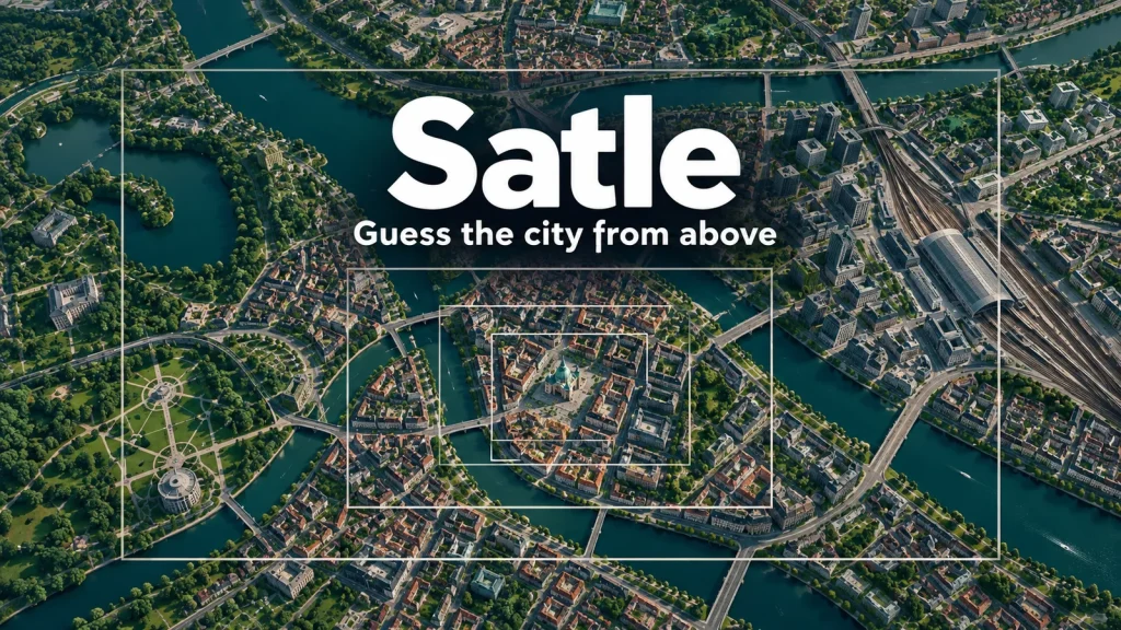
Satle is a daily geography puzzle that asks you to identify a city from satellite images in six guesses. You enter a city name, then use the expanding view and the distance and direction feedback after incorrect guesses to narrow the location down. In my desktop test, a mistaken European opener became much more useful once it pointed me thousands of kilometers toward another continent.
A wrong city changes what you can see
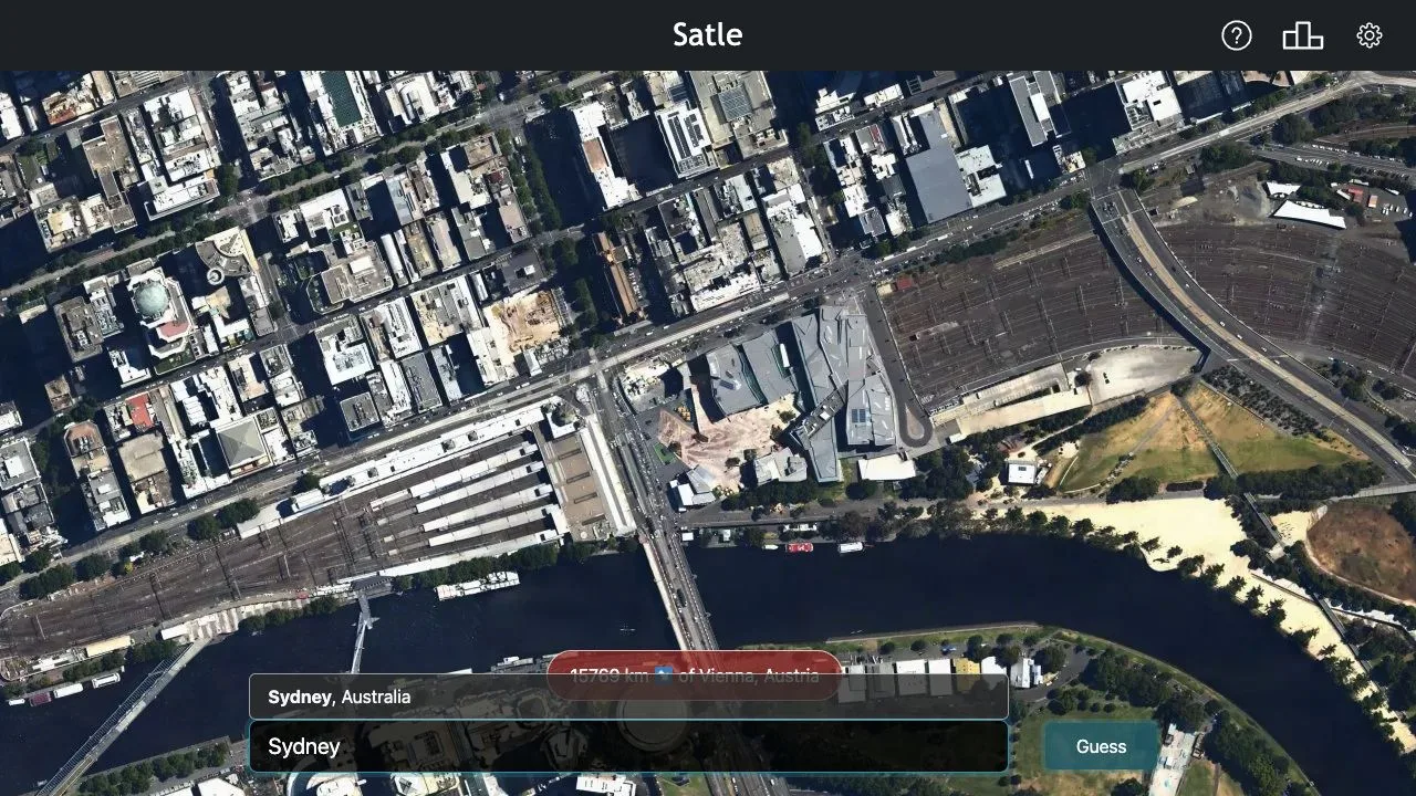
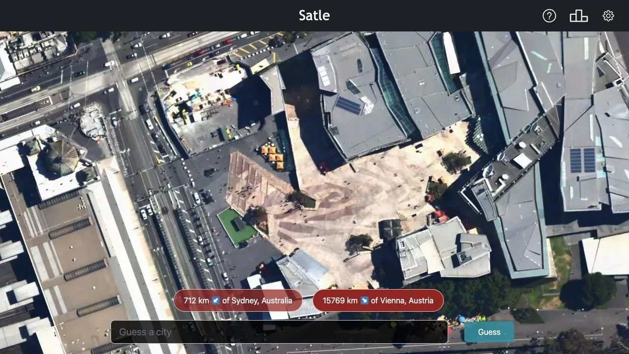
The opening image was a tight overhead view of a plaza, nearby roofs, roads and a railway station. There were recognizable structures, but little regional context. I guessed Vienna, selecting “Vienna, Austria” from the autocomplete list before pressing Guess.
The response read “15769 km” with a southeast arrow, expressed as a direction from Vienna. The image also zoomed out. A river, a bridge and more of the surrounding street pattern became visible. That combination matters: the number helps locate the broad region, while the larger image gives you a fresh visual clue. You are identifying a city, so recognizing an individual building is only one possible route to an answer.
The official help says each incorrect guess reveals a further zoomed-out image. That happened after both of my unsuccessful guesses. The feedback appeared in red chips bearing the guessed city, an arrow and a distance; red did not mean that the guess had provided no useful information.
Read the arrow from your guess
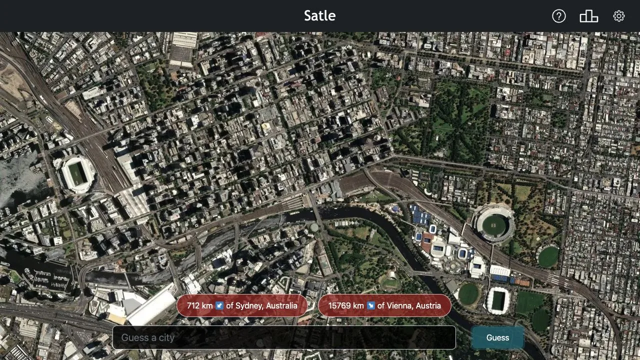
My next selection was “Sydney, Australia.” Its response was “712 km” with a southwest arrow. The view widened again, exposing a more legible river bend, dense blocks and oval sports grounds. Compared with the first attempt, this was a much tighter geographical constraint.
The direction describes where the target lies relative to the city you submitted. Reading that relationship backward would send your next guess the wrong way. A nearby city can therefore be useful even when you cannot yet recognize the satellite scene, but an arbitrary guess still uses one of your six attempts.
Typing alone was not the whole input process: I chose the matching city-and-country suggestion before submitting. Check that country label when a familiar place name appears. My third submitted city completed the puzzle, and the result explicitly reported success in three guesses. The solution is omitted here to keep the daily challenge unspoiled.
Revisit the close view before spending another guess
After the second miss, I clicked the earlier Vienna feedback chip. This restored the initial close image while keeping both guesses available below it. That was the most useful control I nearly overlooked: a wider view adds context, but can make the original architectural details harder to inspect.
Use the previous guesses to compare scales when you have a regional hypothesis. In this run, the close plaza view and the wider river-and-sports-ground view offered different kinds of evidence. Returning to the earlier image did not submit another city or consume another attempt.
The distance display also has a practical accessibility option for US players. In Settings, I changed the unit switch from kilometers to miles. The Sydney feedback changed from 712 km to 443 mi, and the Vienna feedback from 15769 km to 9799 mi. These are the displayed values from this session; they do not establish a scoring formula or an acceptance radius.
What this test establishes
The result screen included a location explanation, a map link, a share-results control and a countdown to the next puzzle. I inspected those controls but did not test sharing or wait for the daily rollover, so the countdown does not establish a reset timezone.
This review covers one completed daily puzzle on desktop, tested October 26, 2026, with two misses followed by a correct third guess. Investigation and pauses were mixed into the session, so it is not a useful completion-time benchmark. Mobile play, losing all six guesses and progress persistence remain untested; the successful run supports the feedback examples above, rather than a claim about how difficult every day will be.